|
|

|
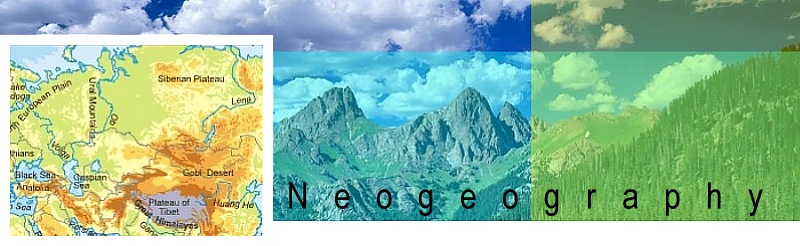
 Neogeography combines the complex techniques of cartography and GIS and places them within reach of users and developers.
Cartography enabled and recorded exploration and discovery for ages. It guided sailors across oceans and helped make sense of the wilderness. Like the transformation of paper to hypertext, maps have evolved from arcane lines and arcs on parchment to dynamic displays of remote geographic information. While geographic information systems (GIS) remained expensive programs, restricted to the use of highly-trained specialists, tools like MapQuest and Yahoo! Maps brought easy-to-use mapping tools to the public. More recently, the release of Google Maps demonstrated to web developers and users the possibilities of navigation and opened a floodgate of interest in online mapping.
Google Maps was not released with an application programming interface (API), but developers slowly figured out how to use the maps for their own uses, and eventually Google released a public API. The release of the API allowed developers and users to quickly and easily show geographically based data on shareable maps. Once the primary domain of GIS systems and operators, these new maps, or "mashups," led to a massive increase in their propagation. The very term mashup can trace its lineage to the first mapping mashups like Housing Maps and ChicagoCrime. What is it about maps that both fascinates and educates people? Why in the online world of instantaneous global communication and anonymity has "location" become such an important theme?
Neogeography means "new geography" and consists of a set of techniques and tools that fall outside the realm of traditional GIS, Geographic Information Systems. Where historically a professional cartographer might use ArcGIS, talk of Mercator versus Mollweide projections, and resolve land area disputes, a neogeographer uses a mapping API like Google Maps, talks about GPX versus KML, and geotags his photos to make a map of his summer vacation.
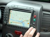
Some leading makers of todays's GPS devices include Magellan, Garmin. Also, many cell phones are fitted with GPS in order to use the many GPS applications available.
|
|
|
|